Scenic drives · Discover the places along the way

Sky Road

Make an unhurried circuit from Clifden, taking the upper Sky Road out towards the Atlantic and returning beside Streamstown Bay.

Scenic driving · Towns, stories and local businesses
A scenic road journey. Explore the published touring area, with nearby visits planned separately. This is a route overview, not live navigation. Follow local signs and road notices. Suggested road overview of the upper Sky Road circuit. Narrow shared roads; park only where permitted. Beach access and attraction visits are separate from the driving line. Not live navigation. Official visitor information ↗

See the towns on the map

The map loads from OpenStreetMap when you choose to open it. You can also use the town list below.

Sky Road · mapped circuit approximately 20 km

Approximate town-centre markers; not attraction entrances or business addresses. Map: © OpenStreetMap contributors. Road data © OpenStreetMap contributors (ODbL), route trace prepared with BRouter; checked against the tourism guide, 21 November 2026. Not live navigation. Town and area markers only; no business pins.

Make time for the places along the way

The upper road gives this short Connemara journey its wide coastal views. Clifden makes a useful beginning and a place to return for a meal. Leave time for permitted viewpoint stops; the narrow road is part of the outing rather than a place to hurry between photographs.

Eyrephort is a separate beach visit at the western end. Other linked Connemara stories can help extend your stay, but Kylemore Abbey and the national park require another journey beyond this circuit.
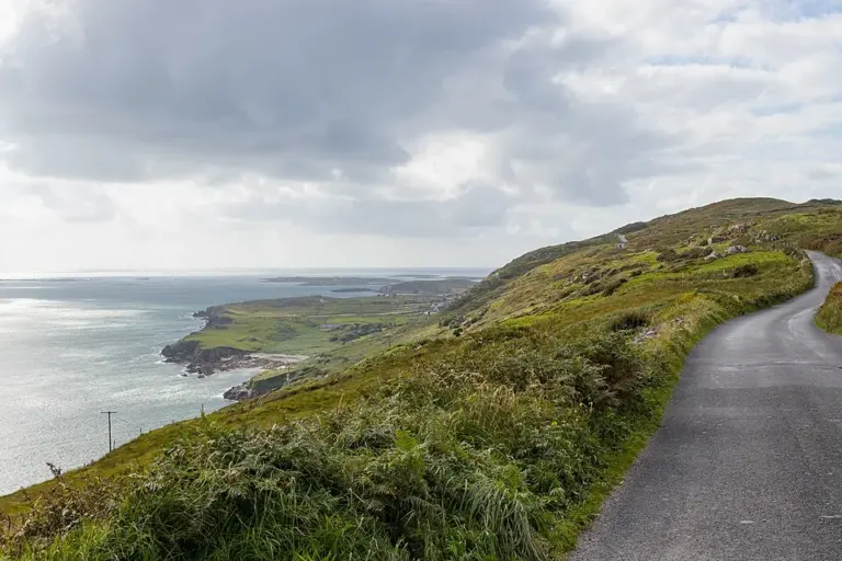
The Sky Road above the Atlantic near ClifdenClifden’s Sky Road: choose a clear day and an unhurried circuit
Photo: Superbass · Source · CC BY-SA 4.0. Resized and converted to WebP; metadata removed. No scene changes. The derivative retains the source licence. Display preview cropped to fit.
An overview of Clifden town in ConnemaraClifden Arts Festival: leave room for the town between events
Photo: Bert Kaufmann · Source · Public domain. Resized and converted to WebP; metadata removed. No scene changes. The derivative retains the source licence. Display preview cropped to fit.
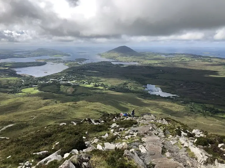
A view over Connemara from Diamond HillDerrigimlagh: walk through bogland and two remarkable journeys
Photo: Karie Kuiper · Source · CC BY-SA 4.0. Resized and converted to WebP; metadata removed. No scene changes. The derivative retains the source licence. Display preview cropped to fit.

Plan with the tourism route guide and further visitor information. Local signs and current notices take precedence over this overview.

Save journeys and favourite places in the Ramble Journeys app →