
Make time for the places along the way
The promoted linear walk links Navan with the Stackallan end. Use the official trailhead directions: the planning pin for Stackallan is not a precise parking entrance.
A full out-and-back doubles the one-way distance. Check the river, path conditions and current access before setting off; do not assume a surfaced or universally accessible route throughout.
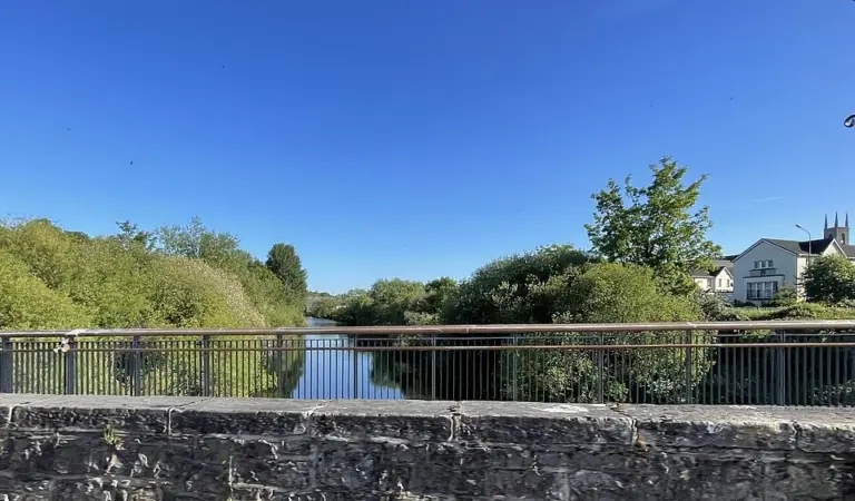 The Boyne Ramparts: decide the return before following the river

 Navan on foot: follow the town’s points of pride

Plan with the tourism route guide and further visitor information. Local signs and current notices take precedence over this overview.