
Make time for the places along the way
Choose the current county-tourism trail and confirm the access to each site. The cathedral, round tower, well and neighbouring centres do not share identical opening arrangements.
The town pin is an orientation point, not a traced pilgrimage path. Plan road crossings and the outlying well approach from the official directions, respecting services and private property.
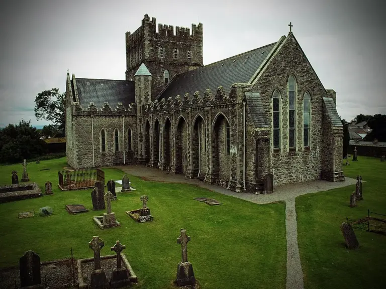 St Brigid’s Cathedral: give the building and round tower their own time

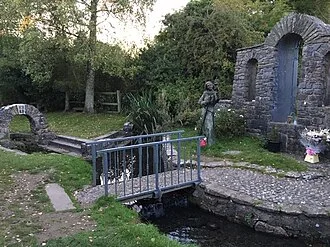 St Brigid’s Well: a quiet stop beyond Kildare town

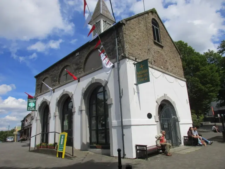 Kildare Heritage Centre: begin the town story in the Market Square

Plan with the tourism route guide and further visitor information. Local signs and current notices take precedence over this overview.