Tyrone · Scenic touring
Central Sperrins · Touring Route
The central route links the Strabane and Glenelly landscapes with the Gortin and Carrickmore side of the Sperrins.
One of four published touring circuits · Check vehicle-size alternativesExplore the planning places
The map loads from OpenStreetMap when you choose to open it. You can also use the town list below.
Planning places · use the official route map for the full alignment
Approximate town-centre markers; not attraction entrances or business addresses. Map: © OpenStreetMap contributors. Planning localities: GeoNames (CC BY 4.0) and OpenStreetMap contributors (ODbL). No trail line is drawn. Town and area markers only; no business pins.
Make time for the places along the way
The official Sperrins brochure distinguishes North, Central, East and South circuits. Use the named circuit’s full map, rather than joining these planning towns by the shortest road route.
The brochure marks alternatives for large or heavy vehicles on some sections. Choose the appropriate variant before leaving, follow local road restrictions and plan forest walks, heritage visits and mountain outings separately.
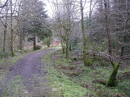
Gortin Glen: choose a forest day that fits the daylight
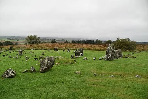
Beaghmore: stone circles in a wider landscapePlan with the tourism route guide and further visitor information. Local signs and current notices take precedence over this overview.