Scenic drives · Discover the places along the way

Achill Atlantic Drive · Curraun Loop

Circle the Curraun Peninsula between Achill Sound and Mulranny, returning along the shore of Clew Bay.

Scenic driving · Towns, stories and local businesses
A scenic road journey. Explore the published touring area, with nearby visits planned separately. This is a route overview, not live navigation. Follow local signs and road notices. Suggested road circuit on the Curraun Peninsula, using public roads rather than the greenway. Narrow coast road; stop only in permitted places. Not live navigation. Official visitor information ↗

See the towns on the map

The map loads from OpenStreetMap when you choose to open it. You can also use the town list below.

Achill Atlantic Drive · Curraun Loop · mapped circuit approximately 39 km

Approximate town-centre markers; not attraction entrances or business addresses. Map: © OpenStreetMap contributors. Road data © OpenStreetMap contributors (ODbL), route trace prepared with BRouter; checked against the tourism guide, 21 November 2026. Not live navigation. Town and area markers only; no business pins.

Make time for the places along the way

This mainland loop combines the R319 approach to Mulranny with the quieter southern coast road around Curraun. Choose a start and explore the small settlements and bay views at your own pace.

The island Atlantic Drive is a different loop across the bridge. The Great Western Greenway is a separate walking and cycling route; this map follows public roads.
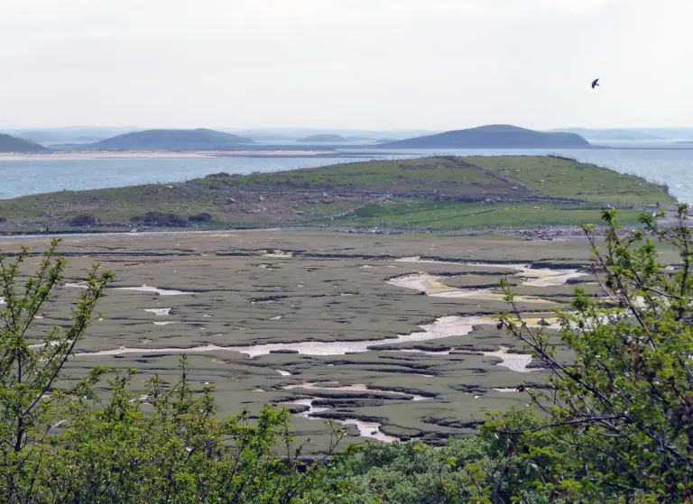
A view from Mulranny towards Clew BayMulranny’s Lookout Hill Loop: bay views and a causeway
Photo: michael clarke stuff · Source · CC BY-SA 2.0. Resized and converted to WebP; metadata removed. No scene changes. The derivative retains the source licence. Display preview cropped to fit.
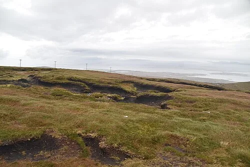
A view from Minaun Heights on AchillMinaun Heights: Achill from above
Photo: N Chadwick  · Source · CC BY-SA 2.0. Resized and converted to WebP; metadata removed. No scene changes. The derivative retains the source licence. Display preview cropped to fit.
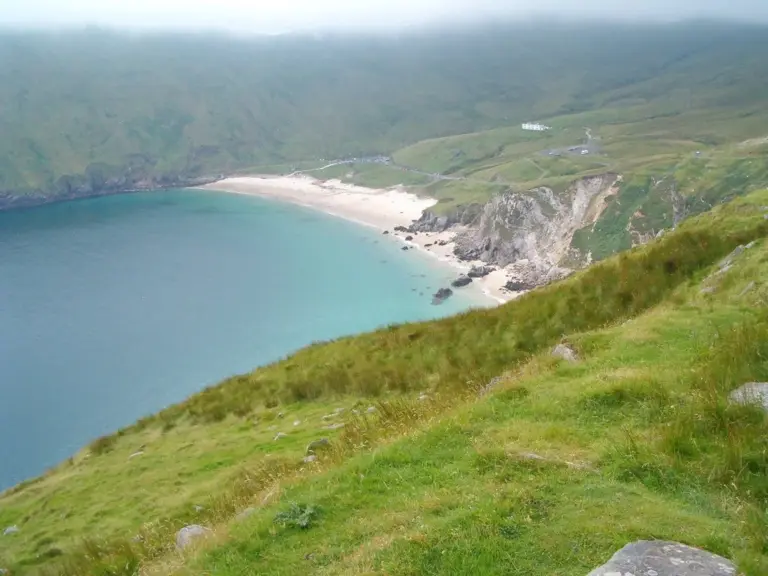
The beach and surrounding slopes at Keem Bay on AchillAchill Island Sea Salt: follow an ingredient back to its makers
Photo: Sergio · Source · CC BY 2.0. Resized and converted to WebP; metadata removed. No scene changes. The derivative retains the source licence. Display preview cropped to fit.

Plan with the tourism route guide and further visitor information. Local signs and current notices take precedence over this overview.

Save journeys and favourite places in the Ramble Journeys app →