
Make time for the places along the way
The county tourism guide describes the National Cycle Network route between the two towns. It is not a promise of a traffic-free greenway: use the published road alignment and plan stops and the return.
Nearby Carlow and Kilkenny stories can extend a stay but are not necessarily on the cycling line. Check the extra distance before adding them to the day.
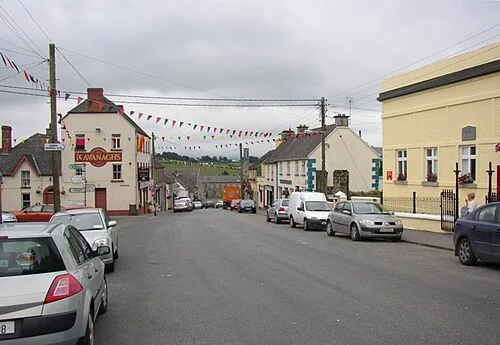 Borris: leave time for the main street as well as the headline sights

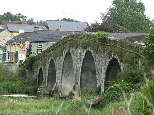 Bennettsbridge: pottery, an old mill and time beside the Nore

Plan with the tourism route guide and further visitor information. Local signs and current notices take precedence over this overview.