
Make time for the places along the way
The full waymarked loop combines mountain and forest paths with quiet roads. It is a different outing from the shorter Commons and Slieve Foye walks, so select the official full route or a clearly defined stage.
Plan around the published access points, weather and accommodation. The overview’s locality pins help you explore nearby stories and businesses; they do not show the permitted trail across the mountain.
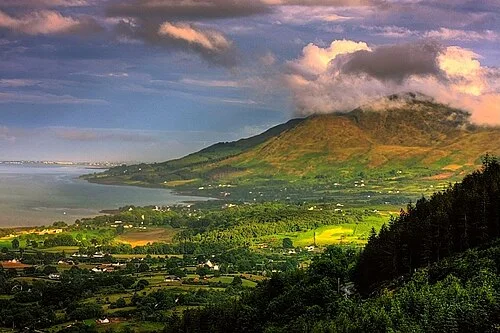 Slieve Foye Loop: choose a mountain walk for the conditions

 Carlingford Castle: book the visit, then look towards the lough

 Carlingford: choose between the town, lough and hills

Plan with the tourism route guide and further visitor information. Local signs and current notices take precedence over this overview.