
Make time for the places along the way
The promoted route has three broad stages: Belfast to Portaferry, the crossing into Saint Patrick’s country, and the coast around the Mournes towards Newry. The Portaferry–Strangford ferry is part of this road-and-ferry overview.
Check the ferry and current road conditions before travelling. Inland scenic sections and forest or mountain outings are separate choices from the main coastal line; allow time and use their own current maps.
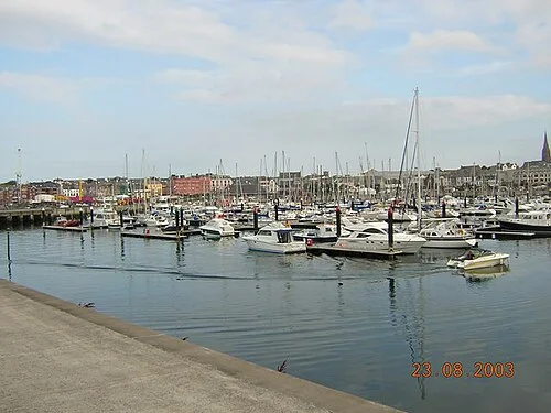 Bangor: connect the marina with a little city history

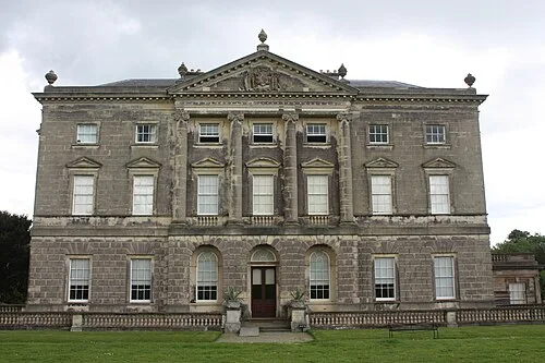 Castle Ward: read two architectural faces beside Strangford Lough

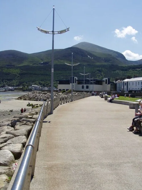 Newcastle: spend a day where the Mournes meet the promenade

Plan with the tourism route guide and further visitor information. Local signs and current notices take precedence over this overview.