
Mayo · Walking

Belleek Woods · Woodland Visit

Belleek Woods offer a change of scene close to Ballina: the town gives way to trees, and the River Moy remains a companion for part of the walk. It is a useful choice when a day needs fresh air without a long drive to a remote trailhead. Pick one route and let the smaller details hold your attention.

Choose a marked walk · Check the selected trail
Walking route guide. Key planning locations only; this map does not trace the trail. This is a route overview, not live navigation. Follow local signs and road notices. The marker shows a nearby planning locality, not the park entrance or a walking line. Follow the official visitor directions and current marked trails. Check gates, weather, forestry operations and local closures before travelling. Official visitor information ↗

Explore the planning places

The map loads from OpenStreetMap when you choose to open it. You can also use the town list below.

Planning places · use the official route map for the full alignment

Approximate town-centre markers; not attraction entrances or business addresses. Map: © OpenStreetMap contributors. Planning localities: GeoNames (CC BY 4.0) and OpenStreetMap contributors (ODbL). No trail line is drawn. Town and area markers only; no business pins.

Make time for the places along the way

There is more than one route through the woods. The nature trail is listed as a four-kilometre loop of moderate grade, while a separate multi-access trail follows its own line. Those labels are not interchangeable. If a buggy, wheelchair or limited walking distance is part of your plans, check that particular route's current surface and entrance.

Check local notices and the chosen trail map. Wear shoes that cope with mud, supervise children beside water and bring a bag for litter. Ask about specific access requirements before travelling rather than relying on a general woodland description.
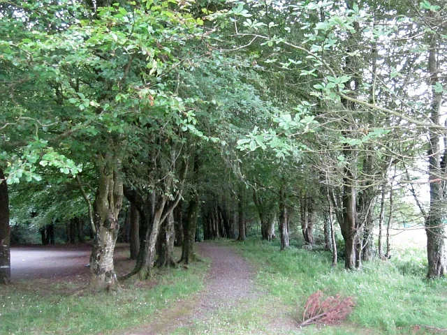
A path through Belleek Woods near BallinaBelleek Woods: follow the Moy into the trees
Photo: Richard Webb  · Source · CC BY-SA 2.0. Resized and converted to WebP; metadata removed. No scene changes. The derivative retains the source licence. Display preview cropped to fit.

Plan with the tourism route guide and further visitor information. Local signs and current notices take precedence over this overview.

Save journeys and favourite places in the Ramble Journeys app →

More forest parks & woodland days, county by county →