
Make time for the places along the way
Although promoted as a scenic loop, the tourism description starts in Newcastle and ends just outside Annalong. Use that inland section and plan the coastal return or onward trip separately.
Tollymore, Bryansford and the Spelga area give the day its mountain setting. Hiking approaches such as Trassey and Hare’s Gap are separate walks, not roads to drive onto.
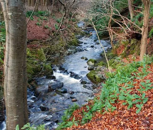 Tollymore Forest Park: choose a river walk before following the water

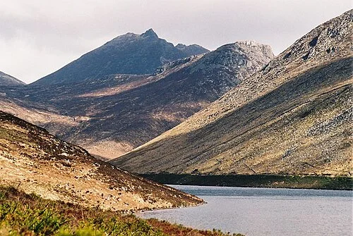 Silent Valley: follow an open route beside the working reservoirs

Plan with the tourism route guide and further visitor information. Local signs and current notices take precedence over this overview.