
Make time for the places along the way
The official route runs from St John’s Bridge to Limerick Junction. The town pins help organise a stay but do not replace those trailheads or show the walking path between them.
Use the current Beara Breifne Way stage guidance and land-access notices. The mountain-bike trails are a different network; this walking route does not permit riding on walking-only sections.
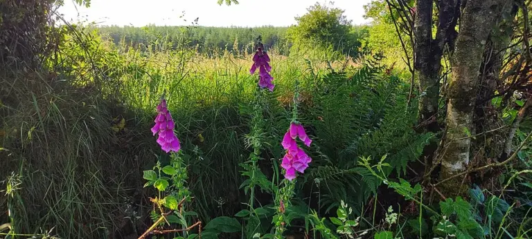 The Ballyhoura Way: plan a Limerick section of the longer trail

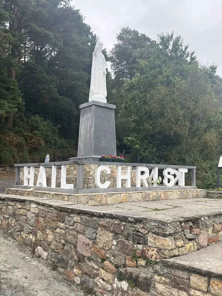 Glen of Aherlow: choose the woodland walk before the mountain ambition

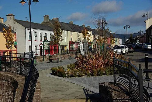 Ballyhoura Apple Farm: explore the craft behind juice and vinegar

Plan with the tourism route guide and further visitor information. Local signs and current notices take precedence over this overview.