
Make time for the places along the way
The promoted drive is a network of signed heritage connections, not a compulsory single circuit. This suggested road plan links its main areas; shorten it around the sites that interest you and leave time for actual visits.
Brú na Bóinne access is through the visitor arrangements, not a road directly to the monuments. Book or check each managed site separately. The town pins and road line are orientation aids rather than attraction entrance directions.
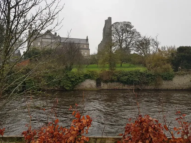 Trim Castle: plan ahead while the conservation works continue

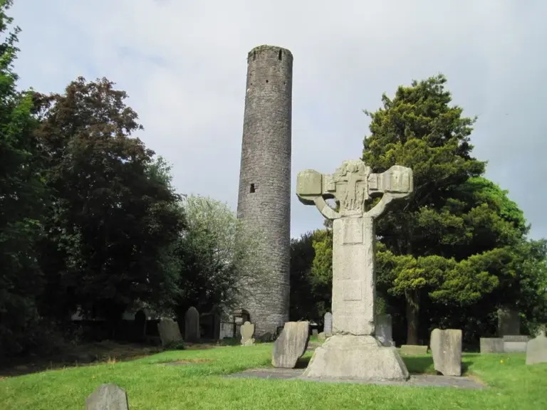 Kells high crosses: look at the carving before chasing the manuscript

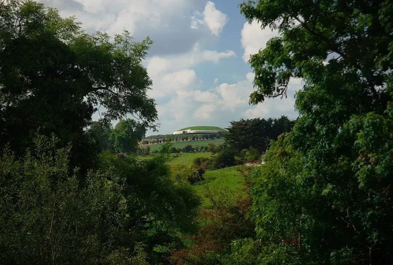 Newgrange: start with the visitor centre, not the monument pin

Plan with the tourism route guide and further visitor information. Local signs and current notices take precedence over this overview.