
Make time for the places along the way
The full Sheep’s Head Way is different from a short lighthouse outing. Plan the published stages and overnight arrangements around the full loop, keeping the lighthouse approach as one part of a much longer walk.
Expect a mixture of paths, lanes and open ground. Keep to permitted access, check current trail notices and leave enough daylight for the chosen stage. The village pins are planning locations rather than a line to navigate across the peninsula.
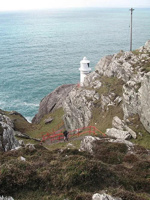 Sheep’s Head Lighthouse Loop: a short distance with a strenuous grade

 Bantry House: plan ahead for the house, garden and bay

Plan with the tourism route guide and further visitor information. Local signs and current notices take precedence over this overview.