
Make time for the places along the way
The Comeragh touring area has mountain-road approaches and separate walking routes. Choose the published road itinerary and check current road conditions; the Mahon Valley walks are not a driving alignment.
Mahon Falls and Coumshingaun require their own parking and walking plans. The locality map does not draw a road between mountain attractions or suggest that a strenuous mountain circuit is a quick roadside stop.
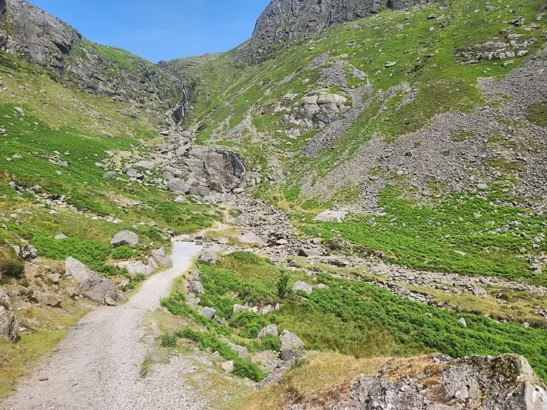 Mahon Falls: make room for the approach, not just the photograph

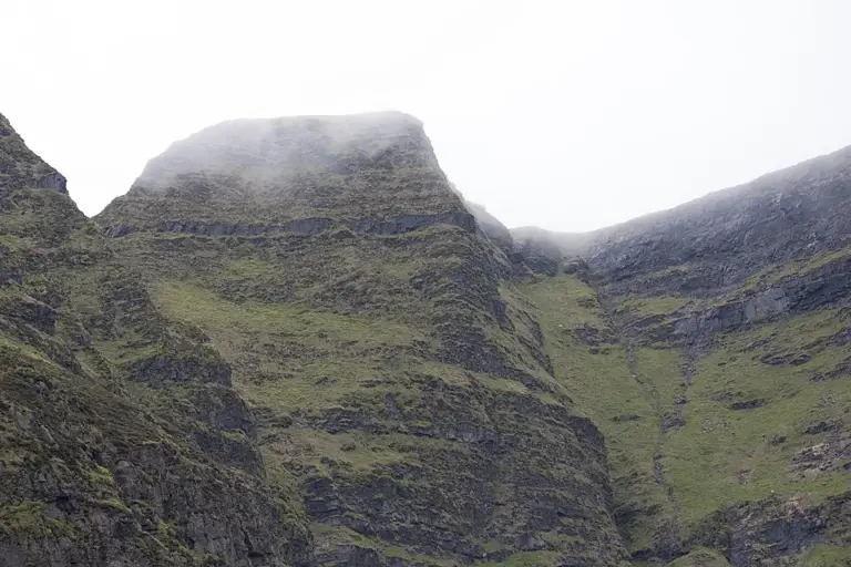 Coumshingaun: treat the corrie as a mountain outing

Plan with the tourism route guide and further visitor information. Local signs and current notices take precedence over this overview.