
Make time for the places along the way
The official trail has fourteen locations: Knocknarea, Rosses Point, Drumcliffe, Lissadell, Benbulben, Glencar, Hazelwood, Deerpark, Innisfree, Slish Wood, Dooney Rock, Union Wood, Ballisodare and Glen Wood. They can be visited in sequence or in an order that suits the day.
The town pins help organise nearby stories and businesses, not navigate to every installation. Use each official location page for the actual entrance. Forest walks, mountain paths, house visits and shoreline viewpoints have different access arrangements.
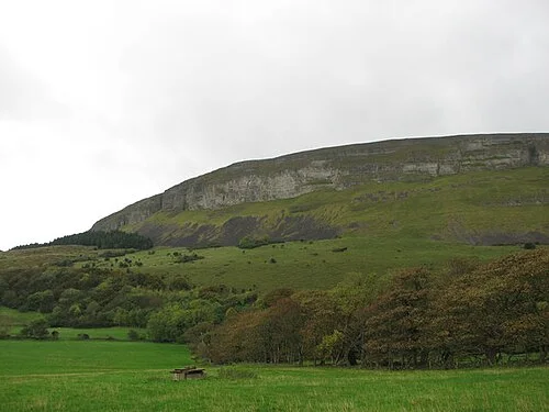 Knocknarea: a walking day around Queen Maeve’s Cairn

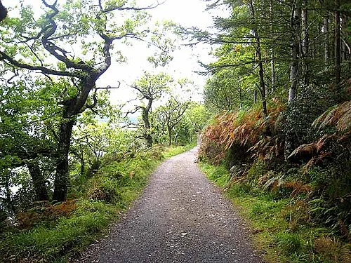 Slish Wood: choose the lake loop before the longer trail

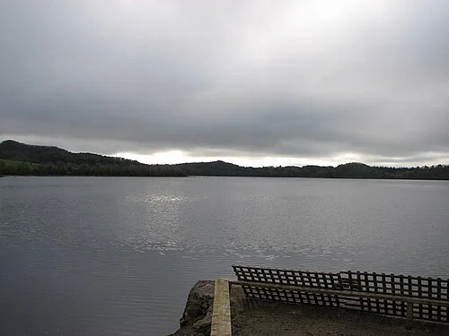 Dooney Rock: a short walk with a literary connection

Plan with the tourism route guide and further visitor information. Local signs and current notices take precedence over this overview.