
Make time for the places along the way
The National Famine Way commemorates the journey of Strokestown emigrants. Use the official route and interpretation to understand the connections and heritage markers, rather than treating it as an ordinary canal leisure loop.
Check the current walking or cycling advice for every stage, including road approaches and shared towpaths. This guide does not reopen the separately closed Westmeath Way or imply that all nearby trails have the same access.
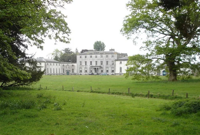 National Famine Way: begin at Strokestown with the story in mind

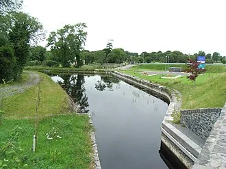 The National Famine Way: walk a Longford section with its history

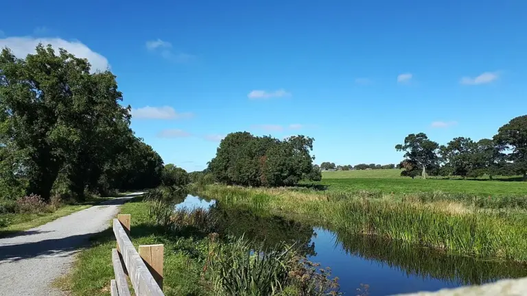 Enfield and the Royal Canal: choose a waterside stretch of your own

Plan with the tourism route guide and further visitor information. Local signs and current notices take precedence over this overview.