
Make time for the places along the way
North Kerry’s tourism route can be joined in different places and has no compulsory direction. This suggested circuit connects its main coastal towns and the inland return through Listowel, with a return spur to Fenit harbour.
Treat beaches, cliff walks and castle visits as separate outings from the road. If you arrive from Clare, check the Tarbert–Killimer ferry independently; that crossing is not included in this land circuit.
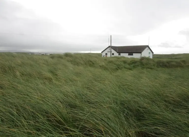 Banna Strand: a North Kerry beach walk without a packed itinerary

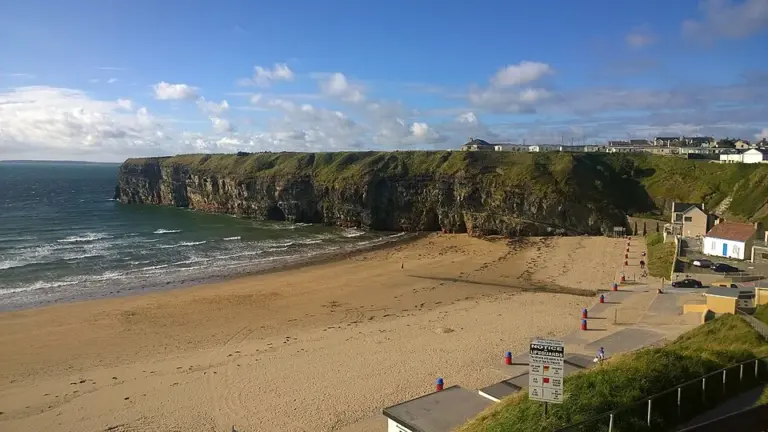 Ballybunion: give the beaches and town a full afternoon

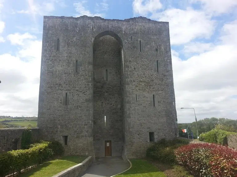 Listowel Castle: see the square through a medieval stronghold

Plan with the tourism route guide and further visitor information. Local signs and current notices take precedence over this overview.