
Make time for the places along the way
Dunhill and Annestown are planning localities around the Anne Valley. The distance depends on the chosen entrance and return: check the current route map instead of combining lengths from different descriptions.
Check the surface, access notices and weather for the day. A nearby castle or coastal visit may require a separate approach; the map does not imply unrestricted access across adjoining land.
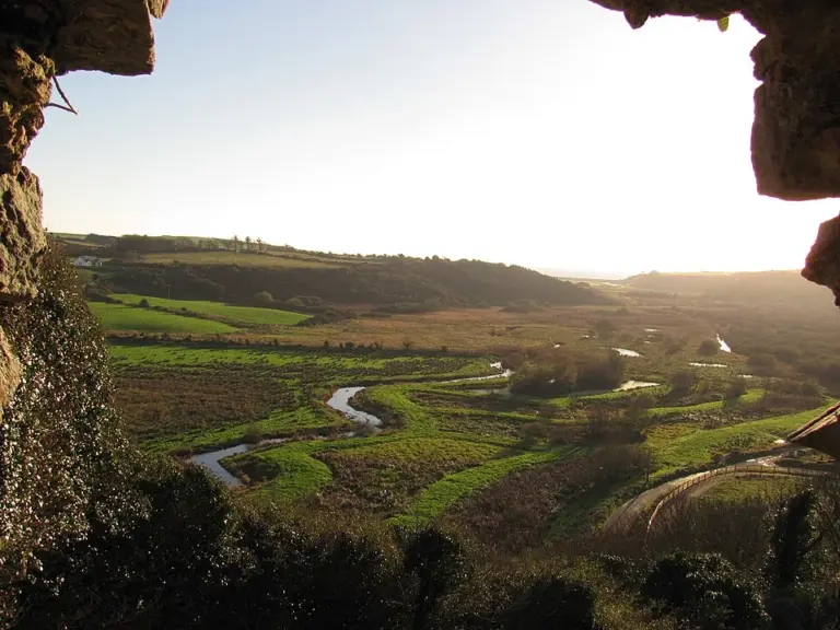 Anne Valley Walk: follow the river with a return plan

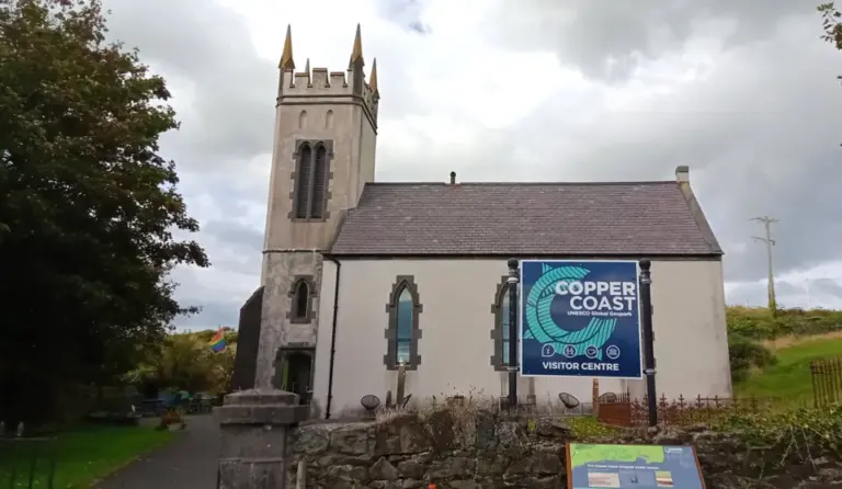 The Copper Coast visitor centre: learn what the rocks are telling you

Plan with the tourism route guide and further visitor information. Local signs and current notices take precedence over this overview.