
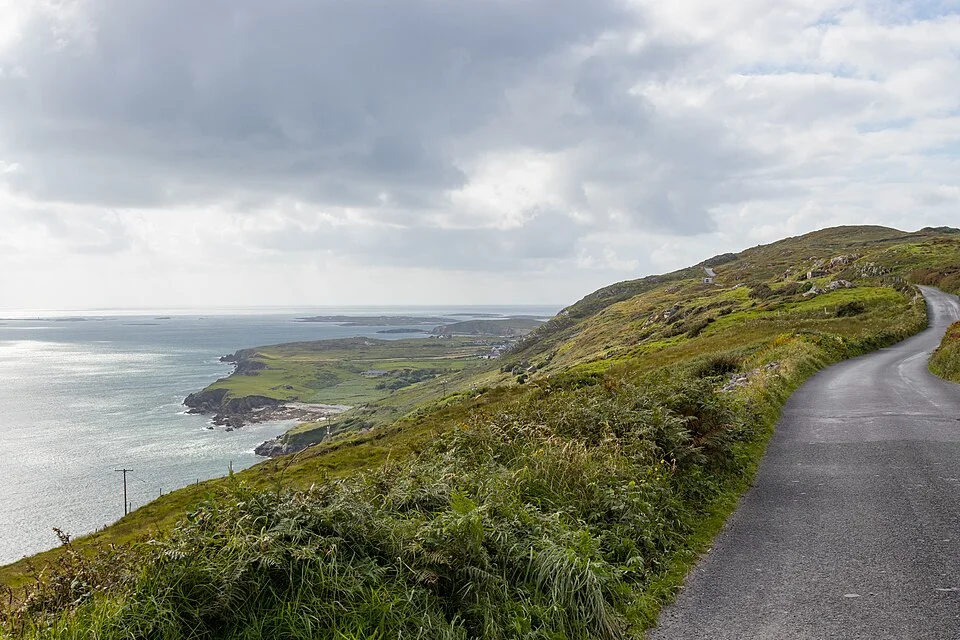
Photo: Superbass · CC BY-SA 4.0. Resized and converted for the web. Full credit.

The Sky Road brings the Atlantic landscape close to Clifden without requiring a full day of driving. Its appeal is the changing view as the road rises and turns. On a good day, a few well-chosen stops will tell you more than trying to photograph the coastline from every bend.
Use the current route map
Discover Ireland describes a 16-kilometre circular route. Other descriptions use different lengths or portions of the road, so choose the circuit you actually intend to follow before setting out. This is a public road with local traffic, not a dedicated greenway or a series of lay-bys. Follow signs and turn only where it is safe to do so.
Let the weather decide the emphasis
Clear intervals make a considerable difference to a viewpoint outing. If cloud closes in, spend more time in Clifden and return to the drive when conditions improve. There is little reward in waiting at an exposed roadside pull-in while visibility disappears. Keep any stop within a proper parking area and leave room for others to pass.
Build in a Clifden stop
A town meal or a browse before the circuit gives the outing a useful beginning; a coffee afterwards lets the drive finish without another deadline. Cyclists and walkers should assess traffic, gradients and visibility carefully. A scenic label does not make every stretch a comfortable route for an inexperienced road user.
Before you go
Download a map, check wind and visibility, and keep the driver’s attention on the road. Do not stop on blind bends or enter fields for a better view. Choose a route and mode of travel that suit your confidence and conditions.
Plan your visit
Sky Road visitor guide · Tourism Ireland Sky Road guide
More in Galway
An Spidéal: a village day of craft, coffee and Galway Bay · Explore the county guide
Have a story to share?
Tell us about a place, a journey or a different side of Ireland. Send your article to the Ramble editorial team for review.