
Make time for the places along the way
The promoted Acres Lake-to-Battlebridge land trail is about 6.5 kilometres. Use its actual entrance and current signage; the locality pins here organise nearby stories and businesses rather than tracing the path.
Cycling is not permitted on the floating boardwalk: dismount and walk the bike there. Keep water-based blueway routes separate from the land trails, and check each section’s surface and access.
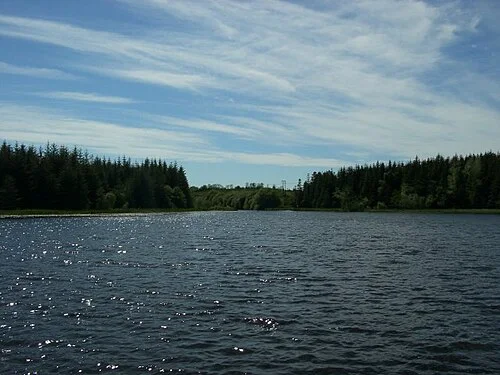 Acres Lake Boardwalk: choose a short stroll or the Blueway

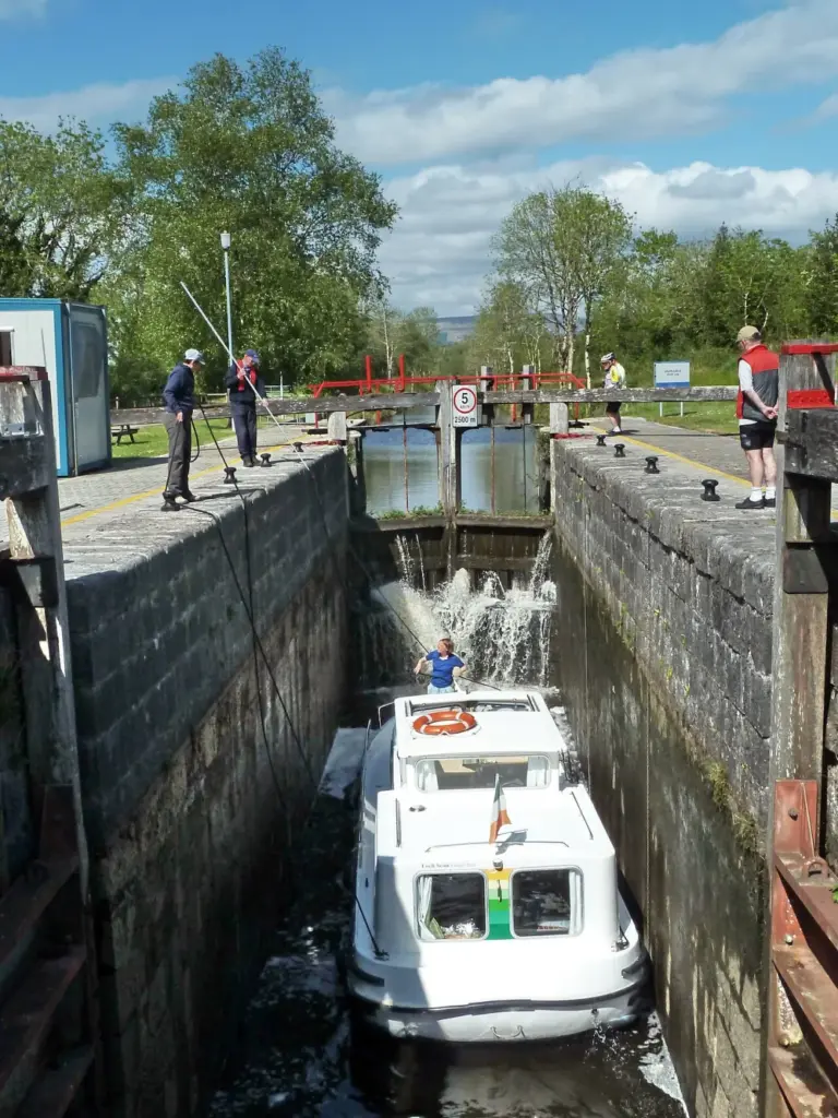 The Shannon Blueway: a waterside day with a clear return
 Drumleague Lock: a canal walk from Battlebridge
Plan with the tourism route guide and further visitor information. Local signs and current notices take precedence over this overview.