Laois · Scenic touring

Slieve Bloom · Glenbarrow & Capard Drive

Use the published mountain-road circuit to explore the Glenbarrow and Capard landscape without assuming the boardwalk is open.

Published 60 km circuit · Mountain roads; walking access separate
Scenic touring route guide. Key planning locations only; this map does not trace the trail. This is a route overview, not live navigation. Follow local signs and road notices. Interactive planning places, not a traced road or navigation line. Use the linked official touring map to choose the route or variant, and follow current local road and access signs. Official visitor information ↗

Explore the planning places

The map loads from OpenStreetMap when you choose to open it. You can also use the town list below.

Planning places · use the official route map for the full alignment

Approximate town-centre markers; not attraction entrances or business addresses. Map: © OpenStreetMap contributors. Planning localities: GeoNames (CC BY 4.0) and OpenStreetMap contributors (ODbL). No trail line is drawn. Town and area markers only; no business pins.

Make time for the places along the way

The official turquoise driving line starts and finishes in Mountrath, taking in Ballyfin, Cathole Falls, the Capard viewpoint area, Rosenallis, Clonaslee, the Cut and Monicknew. Follow that map and current road signs for the complete circuit.

The Capard walking closure is separate from the promoted road drive. Do not enter closed boardwalk or trail sections; choose any walking stop only after checking its current access notice.
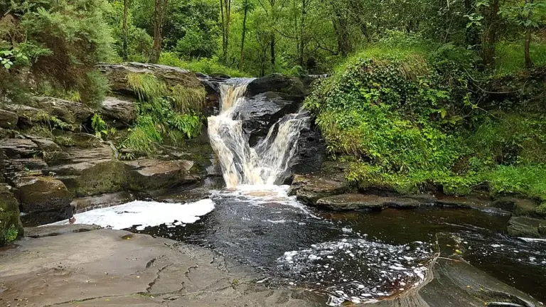
The Clamp Hole waterfall on the River Barrow at GlenbarrowGlenbarrow’s waterfall: choose the walk as carefully as the photograph
Photo: Niall Kearney · Source · CC BY-SA 4.0. Resized and converted to WebP; metadata removed. No scene changes. The derivative retains the source licence. Display preview cropped to fit.
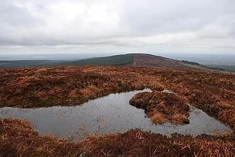
Summit pond on Baunreaghcong looking towards the Ridge of CapardRidge of Capard: check the boardwalk before planning the view
Photo: kevin higgins · Source · CC BY-SA 2.0. Resized and converted to WebP; metadata removed. No scene changes. The derivative retains the source licence. Display preview cropped to fit.
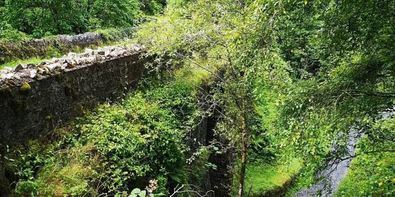
The stone bridge in wooded Glen MonicknewMonicknew Riverside Walk: a shorter Slieve Bloom outing
Photo: Tdr112 · Source · CC BY-SA 4.0. Resized and converted to WebP; metadata removed. No scene changes. The derivative retains the source licence. Display preview cropped to fit.

Plan with the tourism route guide and further visitor information. Local signs and current notices take precedence over this overview.

Save journeys and favourite places in the Ramble Journeys app →