Down · Scenic touring
Slieve Croob · Scenic Route
Explore the Slieve Croob landscape from the Castlewellan side, with a forest or village visit along the way.
Published scenic section · Choose the official road directionsExplore the planning places
The map loads from OpenStreetMap when you choose to open it. You can also use the town list below.
Planning places · use the official route map for the full alignment
Approximate town-centre markers; not attraction entrances or business addresses. Map: © OpenStreetMap contributors. Planning localities: GeoNames (CC BY 4.0) and OpenStreetMap contributors (ODbL). No trail line is drawn. Town and area markers only; no business pins.
Make time for the places along the way
The tourism route begins at Castlewellan Forest Park and finishes near Corry Wood. Follow its published road guidance rather than assuming every planning town shown here must form a closed circuit.
Allow time for a separate forest walk or viewpoint stop. The source of the Lagan and mountain walking routes are not automatically accessible from the roadside.
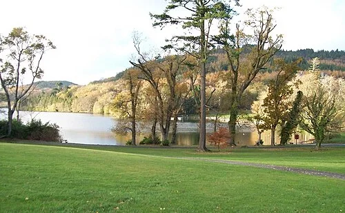
Castlewellan Forest Park: choose a lake day or a garden day
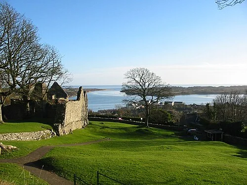
Dundrum Castle: climb for the walls as well as the bayPlan with the tourism route guide and further visitor information. Local signs and current notices take precedence over this overview.