
Make time for the places along the way
The Copper Coast works well as a day shaped around a few seaside stops. Fenor, Annestown, Boatstrand, Bunmahon and Stradbally break up the drive between Tramore and Dungarvan. The geopark story adds another reason to stop: look for interpretation rather than trying to read the whole coastline from the car.
Bunmahon’s visitor centre is a useful place to plan further exploration. Beaches, the Anne Valley walk and the Waterford Greenway are individual visits, not one continuous car-free route. Choose suitable access points, check conditions and keep cliff edges and tidal areas out of an improvised shortcut.
 Tramore: plan a seaside visit beyond a single summer afternoon

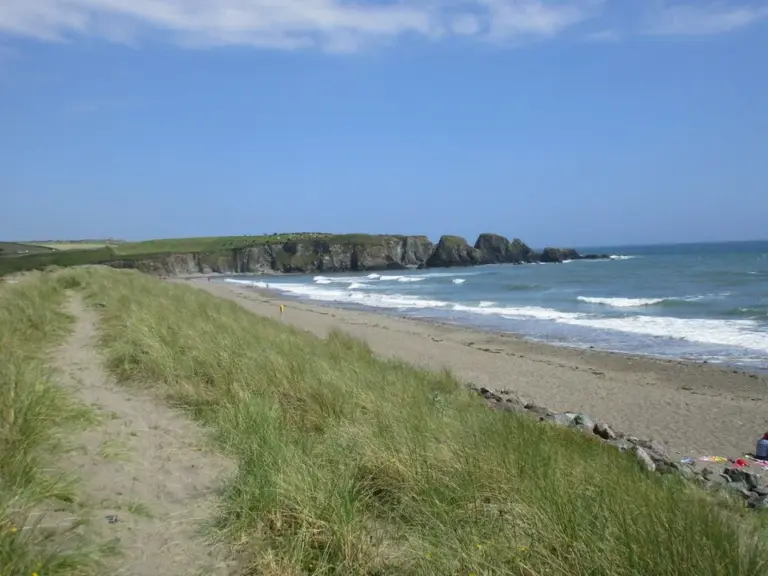 Bunmahon Beach: make a shore stop on the Copper Coast

 The Copper Coast visitor centre: learn what the rocks are telling you

Plan with the tourism route guide and further visitor information. Local signs and current notices take precedence over this overview.