
Make time for the places along the way
The Miners’ Way and Historical Trail are connected but distinct routes, with different distances and stage choices. Use the current published map to choose one rather than adding their lengths into an assumed single circuit.
These town pins help plan services and heritage visits. Check farmland access and the no-dogs guidance, and do not treat a mine visit as proof that the entire walking network is accessible from its entrance.
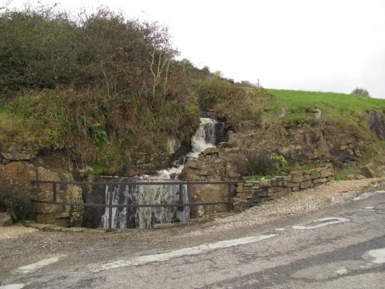 Arigna Mining Experience: listen to the people who worked below ground

 A day in Boyle: put the town between the attractions

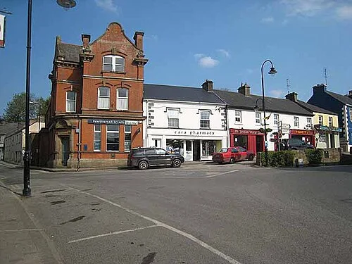 Drumshanbo: a day around the town and the lake

Plan with the tourism route guide and further visitor information. Local signs and current notices take precedence over this overview.