
Make time for the places along the way
Use Clare County Council’s published walking-route information to select the actual trail section. The town pins offer planning context; the Burren Discovery Trail is a separate touring itinerary rather than the walking path shown as a road.
Give the Burren’s habitats and working farmland space. Follow the current permitted route and access notices, prepare for exposed conditions and check the return connection instead of assuming nearby pins mean a short walk.
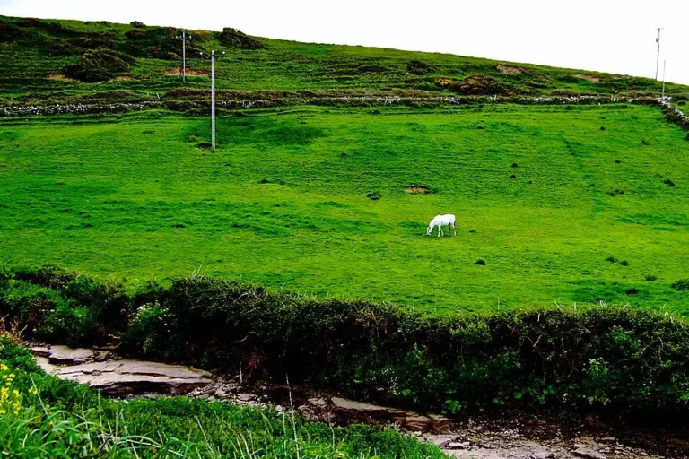 Doolin: leave room for the village between the bigger excursions

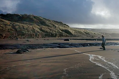 Fanore Beach: leave the dunes intact and give the coast some time

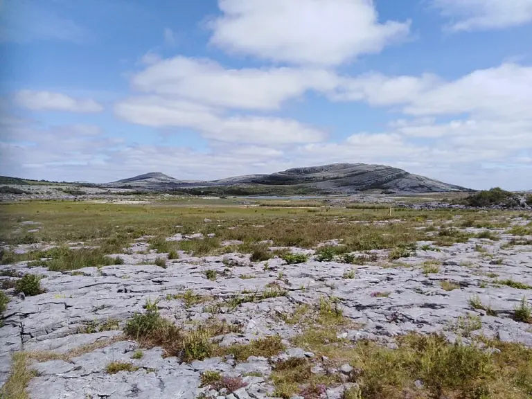 Burren National Park: start in Corofin and choose a trail that fits

Plan with the tourism route guide and further visitor information. Local signs and current notices take precedence over this overview.