
Galway · Walking

Knockma · Woodland Visit

Knockma, near Belclare, offers a hill-and-woodland outing without travelling into Connemara's higher mountains. The route's appeal is the change from enclosed trees to a wider view of the surrounding country. Use the current local trail information and let conditions determine how much of the walk suits your group.

Choose a marked walk · Check the selected trail
Walking route guide. Key planning locations only; this map does not trace the trail. This is a route overview, not live navigation. Follow local signs and road notices. The marker shows a nearby planning locality, not the park entrance or a walking line. Follow the official visitor directions and current marked trails. Check gates, weather, forestry operations and local closures before travelling. Official visitor information ↗

Explore the planning places

The map loads from OpenStreetMap when you choose to open it. You can also use the town list below.

Planning places · use the official route map for the full alignment

Approximate town-centre markers; not attraction entrances or business addresses. Map: © OpenStreetMap contributors. Planning localities: GeoNames (CC BY 4.0) and OpenStreetMap contributors (ODbL). No trail line is drawn. Town and area markers only; no business pins.

Make time for the places along the way

The visitor route is described as a loop through Knockma Woods. Check the present map, waymarks and any storm or maintenance notices before leaving the trailhead. Tree cover can hide changes in direction, so keep the party together at junctions. A route length in an online description should be checked against the walk currently signed on the ground.

Check current local access, route and weather information, especially after storms. Confirm parking and facilities rather than assuming toilets are available. Follow dog rules, stay on the designated trail and leave historic or natural features undisturbed.
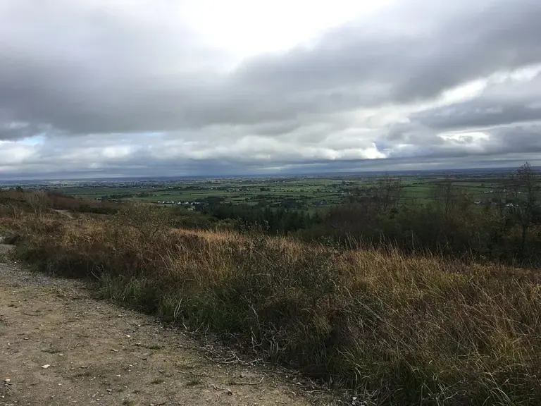
A view across the landscape from Knockma near BelclareKnockma: woodland paths and a view across north Galway
Photo: Jeoun · Source · CC BY-SA 4.0. Resized and converted to WebP; metadata removed. No scene changes. The derivative retains the source licence. Display preview cropped to fit.

Plan with the tourism route guide and further visitor information. Local signs and current notices take precedence over this overview.

Save journeys and favourite places in the Ramble Journeys app →

More forest parks & woodland days, county by county →