
Make time for the places along the way
Use the county’s current route map for the full line between Inniskeen and the Lough Muckno end. Castleblayney is shown as the planning town rather than an exact trailhead.
The official listing records an annual closure from midnight on 24 December to midnight on 25 December. Check that notice and current land access before choosing the date, then arrange the return transport.
 The Monaghan Way: use the 2026 reroute, not the closed bridge
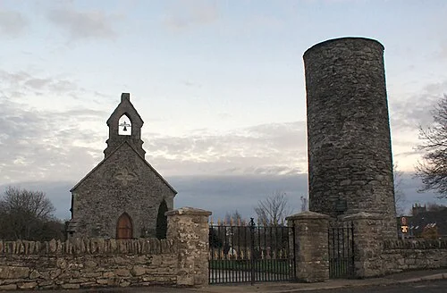
 Inniskeen Round Tower: a short stop with a long history
Plan with the tourism route guide and further visitor information. Local signs and current notices take precedence over this overview.