
Make time for the places along the way
Coillte records a weir, bridge remains and pumping infrastructure associated with Brittas House. These traces make the river more than scenery. Observe them from the path rather than entering a ruin or assuming old masonry is safe to stand on.
Check Coillte notices, trailhead information and the weather before walking. The published parking capacity is small, so have a considerate alternative if the entrance is full; never block access. Wear shoes for wet or uneven surfaces, bring water and allow daylight for the chosen distance. Keep children close beside water. A nearby village does not guarantee refreshments will be serving at the end of a late walk, so check that part separately.
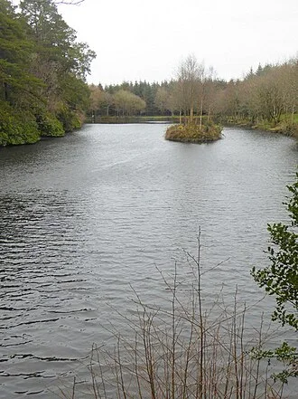 Brittas Forest: follow Clonaslee’s river towards the lake

Plan with the tourism route guide and further visitor information. Local signs and current notices take precedence over this overview.