
Make time for the places along the way
This suggested main circuit follows the promoted southern route from Bundoran towards Donegal town, Killybegs and Glencolmcille, returning through Ardara. Teelin is a return spur; a Sliabh Liag cliff visit needs its own current parking and access plan.
The tourism map also offers side trips towards Creevy, Murvagh, Pettigo and Lough Derg, St John’s Point and Port. Those optional branches are not included in this main road line. Choose a few stops rather than trying to fit every detour into one day.
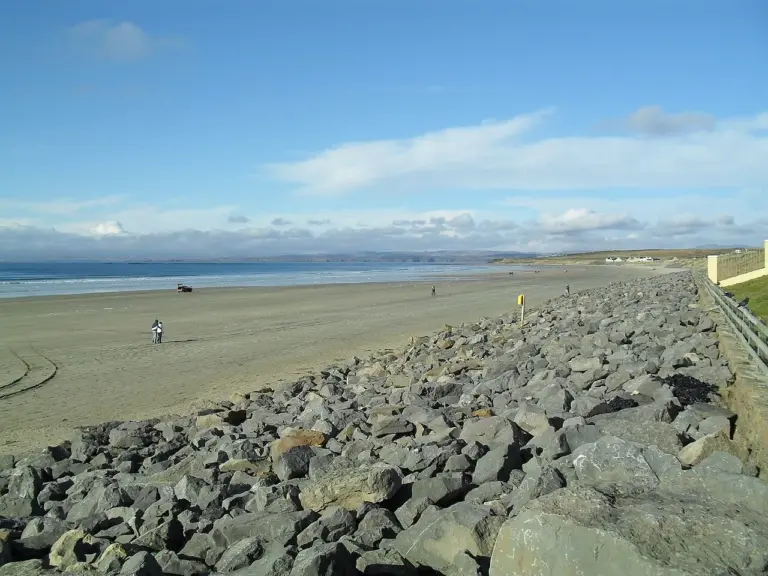 Rossnowlagh: a Donegal surf day at your own level

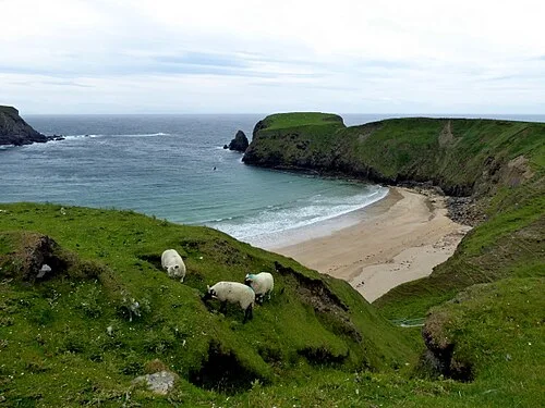 Silver Strand at Malin Beg: the beach below the steps

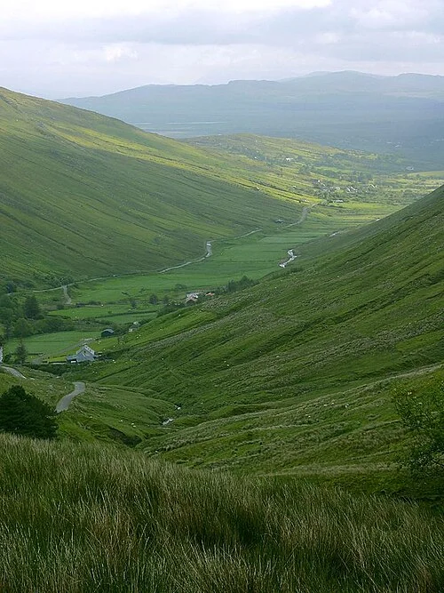 Glengesh Pass: take the bends slowly between Ardara and the glens

Plan with the tourism route guide and further visitor information. Local signs and current notices take precedence over this overview.