
Make time for the places along the way
The county’s fourth touring route starts around Ballybofey and Stranorlar and finishes in Letterkenny. This overview follows public-road connections between its towns rather than presenting the outing as a closed coastal loop.
The fort approach and Inch Island reserve are separate visits from their nearby town pins. Use each attraction’s directions and access notices; being near a heritage site does not establish an open entrance or a suitable walking connection.
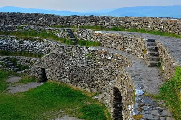 Grianán of Aileach: a stone fort above the two loughs

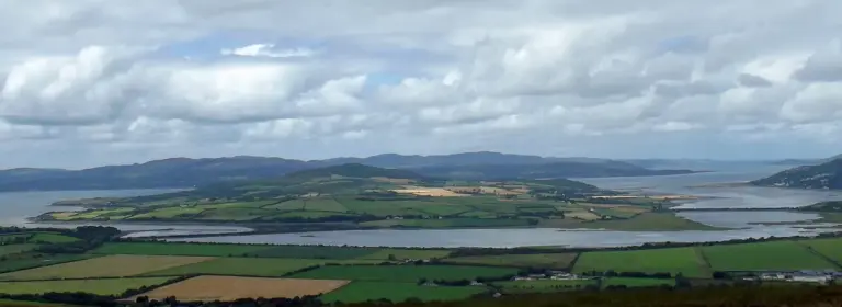 Inch Wildfowl Reserve: a quieter side of Inishowen

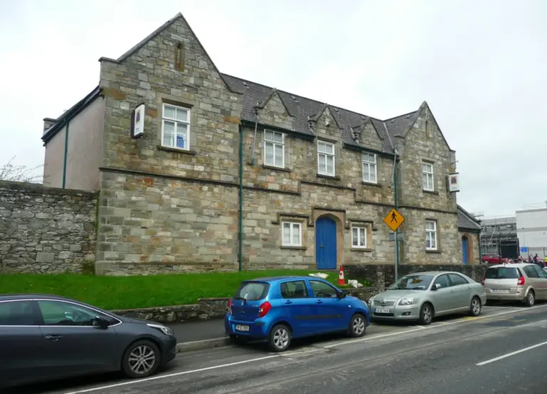 Donegal County Museum: begin Letterkenny with the county’s story

Plan with the tourism route guide and further visitor information. Local signs and current notices take precedence over this overview.