
Make time for the places along the way
The published loop connects Maam Cross and Leenane with the northwestern coast before returning through Letterfrack, Kylemore and the Inagh Valley. Choose stops around the day’s weather rather than treating it as a race between viewpoints.
The national park walks, abbey visit and beaches each need time away from the road. Use current entrance and parking advice; a mountain or beach appearing nearby does not make it part of the driving line.
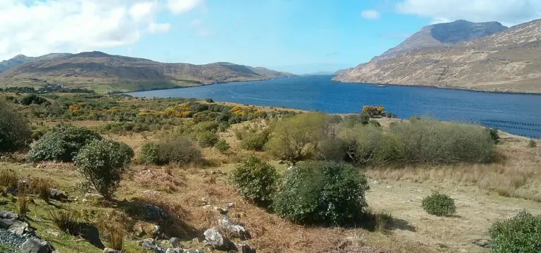 Killary Fjord by boat: let the shore come to you

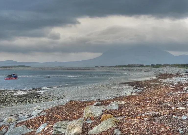 Renvyle Peninsula: give the smaller roads and shore stops time

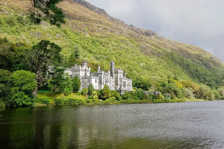 Kylemore Abbey: leave time beyond the lakeside photograph

Plan with the tourism route guide and further visitor information. Local signs and current notices take precedence over this overview.