Donegal · Scenic touring

Mulroy Drive

Explore the places around Mulroy Bay, separating the promoted drive from its coastal and woodland detours.

Promoted 35 km route plus optional visits · Choose the route and side trips
Scenic touring route guide. Key planning locations only; this map does not trace the trail. This is a route overview, not live navigation. Follow local signs and road notices. Interactive planning places, not a traced road or navigation line. Use the linked official touring map to choose the route or variant, and follow current local road and access signs. Official visitor information ↗

Explore the planning places

The map loads from OpenStreetMap when you choose to open it. You can also use the town list below.

Planning places · use the official route map for the full alignment

Approximate town-centre markers; not attraction entrances or business addresses. Map: © OpenStreetMap contributors. Planning localities: GeoNames (CC BY 4.0) and OpenStreetMap contributors (ODbL). No trail line is drawn. Town and area markers only; no business pins.

Make time for the places along the way

The visitor guide describes a thirty-five-kilometre Mulroy Drive with viewing points and additional visits around Fanad and Rosguill. These locality pins help explore that wider area; they are not an instruction to drive through every town as one thirty-five-kilometre loop.

Choose the current main route first, then allow extra time for Knockalla, Fanad Lighthouse, Doe Castle or Ards Forest Park. Tours, beaches, walks and watersports need their own opening, access and weather checks.
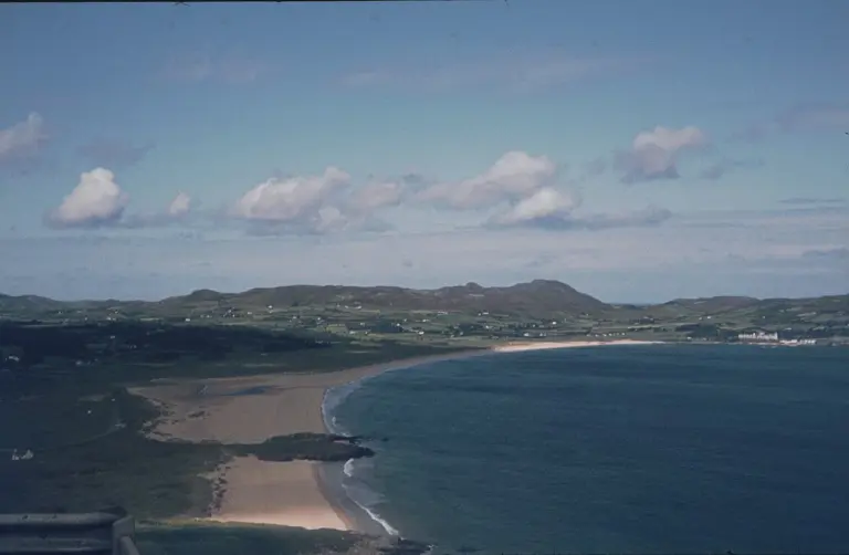
A view across Ballymastocker BayPortsalon: spend a day at Ballymastocker Strand
Photo: Klaus Liphard  · Source · CC BY-SA 2.0. Resized and converted to WebP; metadata removed. No scene changes. The derivative retains the source licence. Display preview cropped to fit.
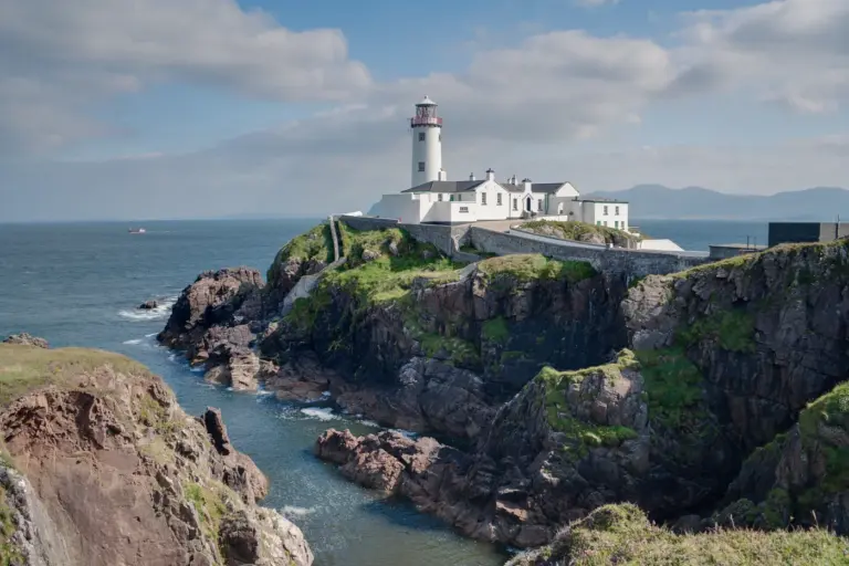
Fanad Lighthouse and its coastal settingStay at Fanad Lighthouse: a keeper’s cottage on the coast
Photo: Andreas F. Borchert · Source · CC BY-SA 4.0. Resized and converted to WebP; metadata removed. No scene changes. The derivative retains the source licence. Display preview cropped to fit.
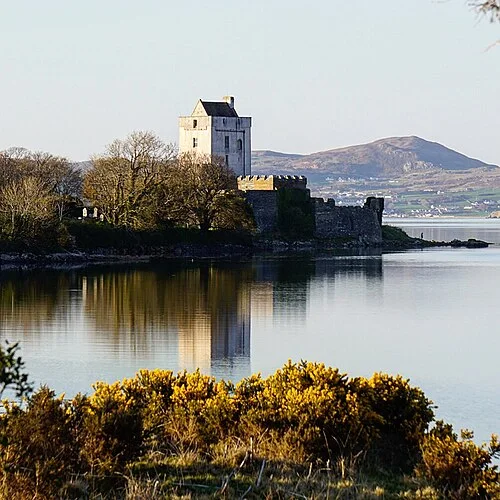
Doe Castle beside the waterDoe Castle: a waterside stronghold on Sheephaven Bay
Photo: Seamus mcmonagle · Source · CC BY-SA 4.0. Resized and converted to WebP; metadata removed. No scene changes. The derivative retains the source licence. Display preview cropped to fit.

Plan with the tourism route guide and further visitor information. Local signs and current notices take precedence over this overview.

Save journeys and favourite places in the Ramble Journeys app →