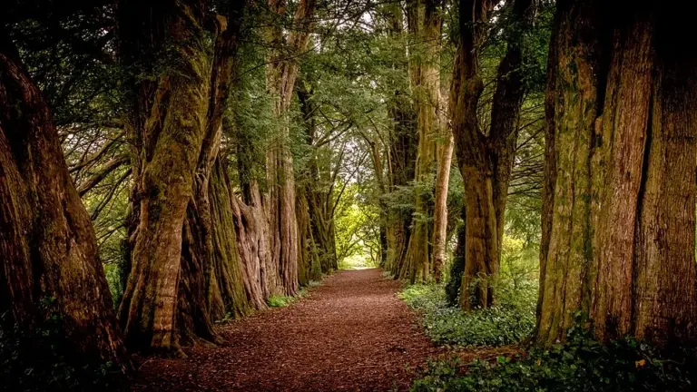
Scenic drives · Discover the places along the way
The Vee · Scenic Drive
Cross the Knockmealdown pass between Clogheen and Lismore, leaving time for a permitted roadside stop.
Scenic driving · Towns, stories and local businessesSee the towns on the map
The map loads from OpenStreetMap when you choose to open it. You can also use the town list below.
The Vee · Scenic Drive · mapped road approximately 23 km
Approximate town-centre markers; not attraction entrances or business addresses. Map: © OpenStreetMap contributors. Road data © OpenStreetMap contributors (ODbL), route trace prepared with BRouter; checked against the tourism guide, 21 November 2026. Not live navigation. Town and area markers only; no business pins.
Make time for the places along the way
The R668 carries the V-shaped bend that gives this drive its name. This is a linear mountain-road outing between the two towns; choose the onward journey or return independently.
Bay Lough and mountain walks are separate outings from the drive. Check winter road and weather conditions, keep bends and passing places clear, and stop only where parking is permitted.
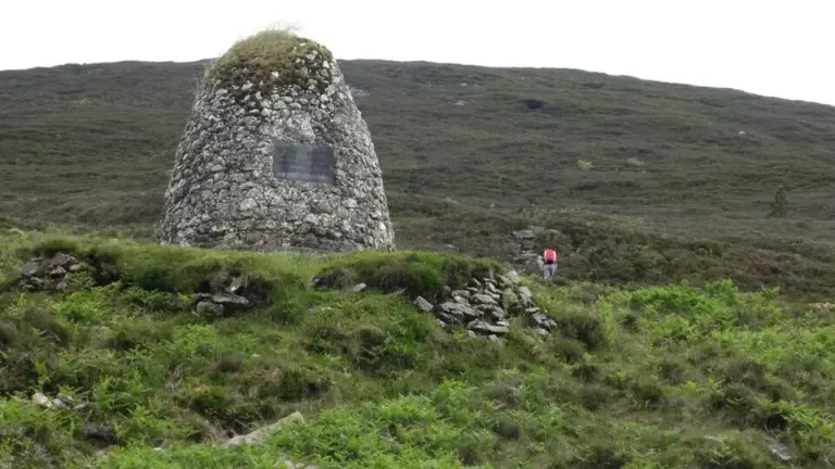
The Vee: stop for the landscape without turning the road into a viewpoint
Lismore Castle Gardens: explore two landscapes behind the wallsPlan with the tourism route guide and further visitor information. Local signs and current notices take precedence over this overview.