
Make time for the places along the way
The Kerry Way is a walking circuit from Killarney, distinct from the Ring of Kerry road. Use the official section maps to choose daily stages and accommodation. The places shown here help organise the trip; they do not draw the trail between towns.
Allow for sustained climbs, remote sections and wet ground. A place appearing close on this overview is not proof of a short or easy walking connection. Arrange supplies and onward transport around the actual published stage.
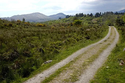 The Kerry Way near Sneem and Kenmare: choose a stage deliberately

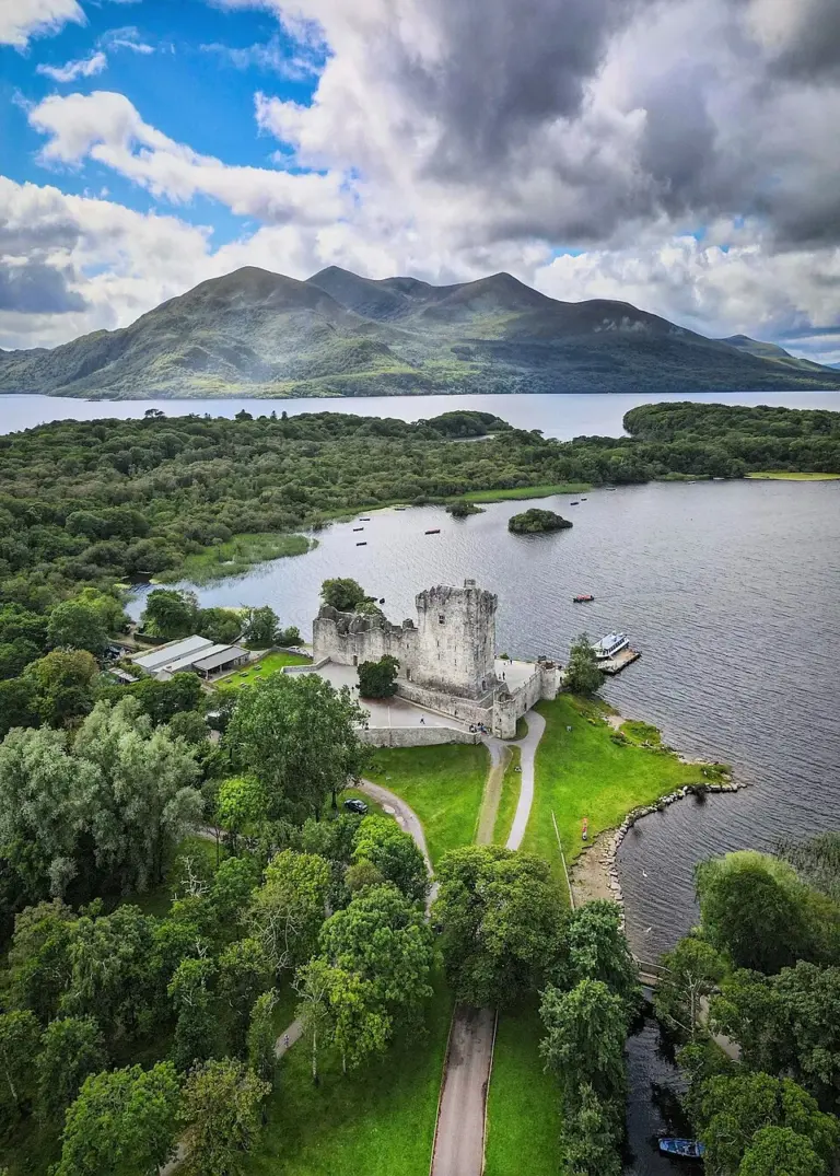 Ross Castle: a lakeside fortress with a seasonal interior

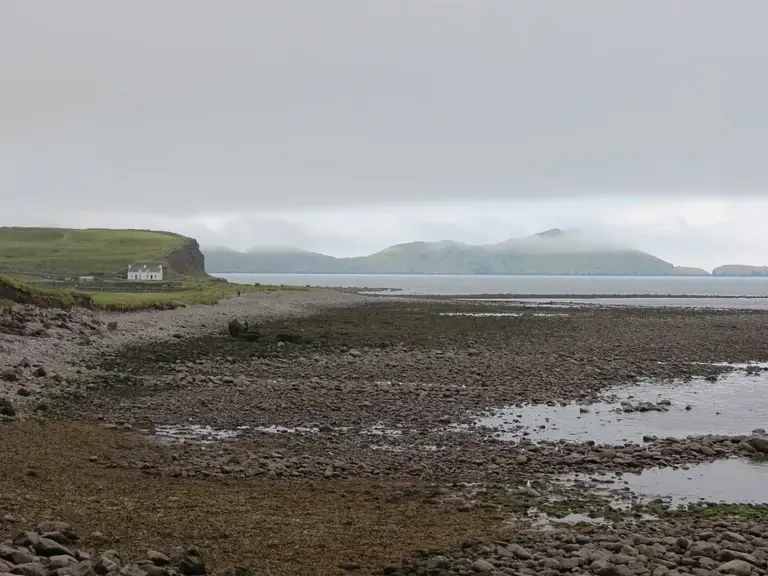 Waterville: spend time between the sea and Lough Currane

Plan with the tourism route guide and further visitor information. Local signs and current notices take precedence over this overview.