
Make time for the places along the way
The Laois and Offaly trailheads have their own graded choices. This planning map does not draw a riding connection between them; use Coillte’s current maps and trail boards to choose the route.
Check forestry notices, closures and the technical grade against the rider and bike. Do not improvise onto walking trails or assume that a nearby scenic road is part of the mountain-bike network.
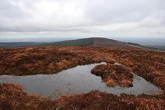 Baunreagh mountain biking: choose a trail for your actual experience

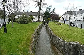 Kinnitty mountain biking: learn what blue means here

Plan with the tourism route guide and further visitor information. Local signs and current notices take precedence over this overview.