
Make time for the places along the way
The summit walk is separate from the lower forest family trails and scenic drive. Use the current Ring of Gullion route description to select the actual start and distinguish the shorter mountain approach from longer circuits.
Meigh is a nearby planning village, not a summit trailhead. Check forest-road opening and mountain weather; some longer variants include a busy-road section and need different planning.
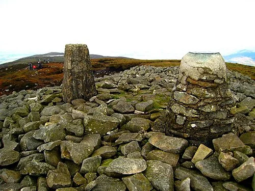 Slieve Gullion summit: prepare for a mountain, not a park stroll

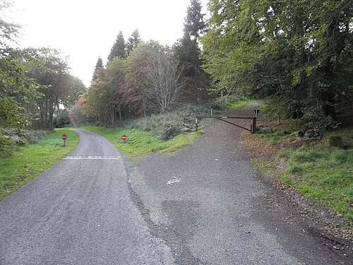 Slieve Gullion Forest Park: a woodland day below the summit

Plan with the tourism route guide and further visitor information. Local signs and current notices take precedence over this overview.