
Make time for the places along the way
Coillte lists Fairfield at about two kilometres with an easy grade, and longer moderate loops of roughly five and seven kilometres. Time estimates include more than distance alone. Choose according to terrain, daylight and the people walking rather than treating every forest circuit as equally straightforward.
Consult Coillte’s current notices and follow forestry closures. The map explicitly warns that routes shown beyond its property do not confer rights of way. Wear shoes for damp woodland and carry a reliable map, drink and enough layers for a slower return. Leave heritage structures and stones undisturbed. The forest lies near Rockcorry and Cootehill, so check the actual car park rather than navigating to a broad town address. Arrange refreshments separately around opening hours. Give one loop the time it needs instead of extending an attractive morning into an unplanned walk across the whole former estate.
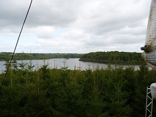 Dartrey Forest: choose your loop before following the lakes

Plan with the tourism route guide and further visitor information. Local signs and current notices take precedence over this overview.