
Make time for the places along the way
Hollywood and Laragh mark the ends of this compact mountain drive. The R756 climbs through the Wicklow Gap before descending towards Glendalough. Travel in either direction and allow time for a proper stop rather than treating every view as a roadside pull-in.
Glendalough offers a separate visit to the monastic settlement, lakes and marked walks. Choose a walk to suit the day and your experience, and check current park notices. The scenic road is a driving route; the nearby St Kevin’s Way is a separate walking trail.
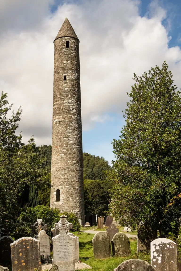 Glendalough’s Monastic City: begin with the buildings in the valley

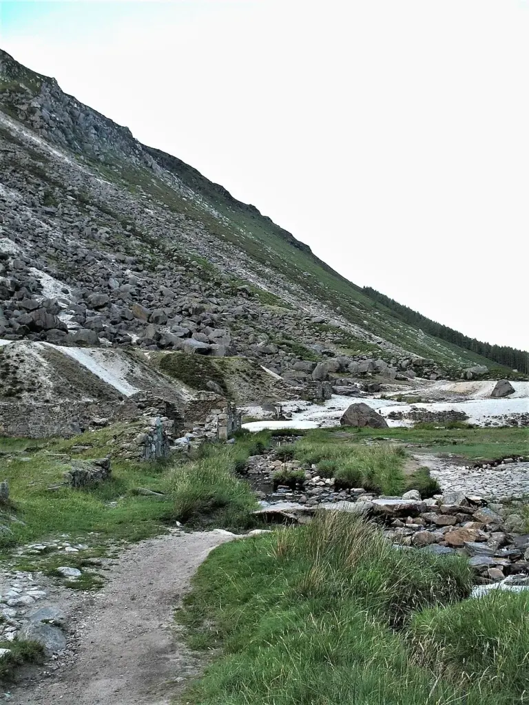 Glendalough’s Miners’ Road: walk beside the Upper Lake and return

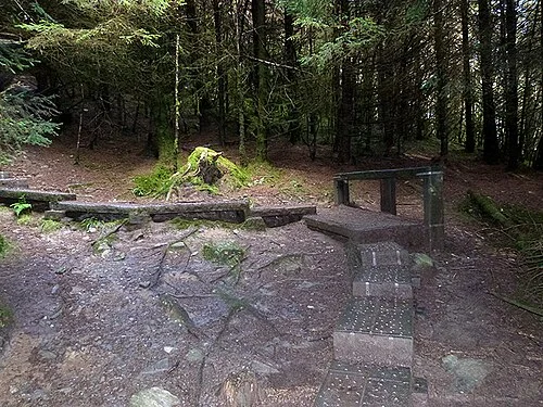 The Spinc White Route: plan Glendalough as a mountain day

Plan with the tourism route guide and further visitor information. Local signs and current notices take precedence over this overview.