Dublin · Wicklow · Carlow · Walking

Wicklow Way

Plan a walking journey from Dublin’s edge through Wicklow to Clonegal, choosing stages to suit the time and conditions.

Multi-day linear route · Mountain walking
Walking route guide. Key planning locations only; this map does not trace the trail. This is a route overview, not live navigation. Follow local signs and road notices. Planning locations only, not a traced walking path. Use the current official trail map and waymarkers, check access and weather, and plan the return or onward transport before setting out. Official visitor information ↗

Explore the planning places

The map loads from OpenStreetMap when you choose to open it. You can also use the town list below.

Planning places · use the official route map for the full alignment

Approximate town-centre markers; not attraction entrances or business addresses. Map: © OpenStreetMap contributors. Planning localities: GeoNames (CC BY 4.0) and OpenStreetMap contributors (ODbL). No trail line is drawn. Town and area markers only; no business pins.

Make time for the places along the way

The Wicklow Way is a long-distance walking trail, not the Military Road or Wicklow Gap drive. Its official stage maps are the basis for planning; the locality pins here help connect overnight stops and nearby stories.

Arrange accommodation, food and transport around the walking stage you choose. A nearby attraction may need a separate approach, so do not add its visit to a mountain day without checking the extra distance and daylight.
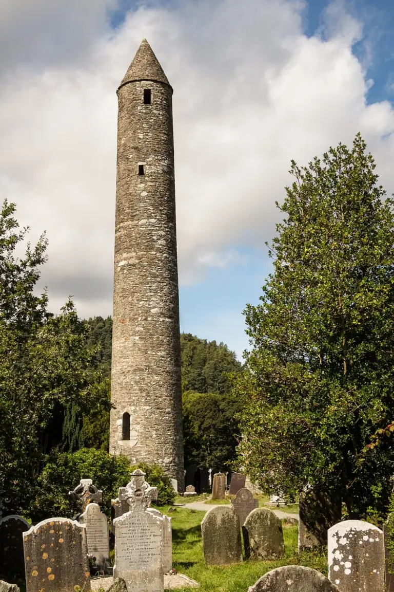
Round tower among the monastic ruins at GlendaloughGlendalough’s Monastic City: begin with the buildings in the valley
Photo: Rafesmar · Source · CC BY-SA 4.0. Resized and converted to WebP; metadata removed. No scene changes. The derivative retains the source licence. Display preview cropped to fit.
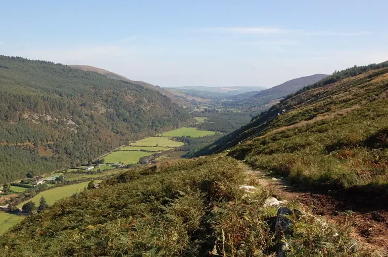
View along Glenmalure valleyGlenmalure: enjoy the valley without improvising a summit route
Photo: Shever · Source · CC BY 2.0. Resized and converted to WebP; metadata removed. No scene changes. The derivative retains the source licence. Display preview cropped to fit.
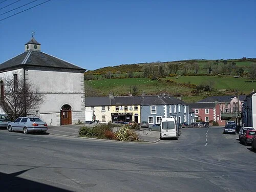
Main square in TinahelyTinahely: a village day between the square, arts and a chosen walk
Photo: Hamish Bain · Source · CC BY-SA 2.0. Resized and converted to WebP; metadata removed. No scene changes. The derivative retains the source licence. Display preview cropped to fit.

Plan with the tourism route guide and further visitor information. Local signs and current notices take precedence over this overview.

Save journeys and favourite places in the Ramble Journeys app →