
Make time for the places along the way
Use Coillte’s current trail map and entrance board to select a route within the network. Ardpatrick is the nearby planning village, not a substitute for the signed mountain-bike trailhead.
Check forestry closures and technical grades before riding. Walking trails and forest roads do not automatically provide permitted alternatives to a closed bike section.
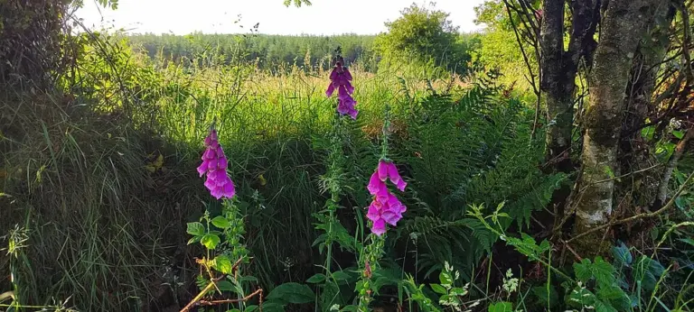 Ballyhoura mountain biking: choose a trail, not the whole network

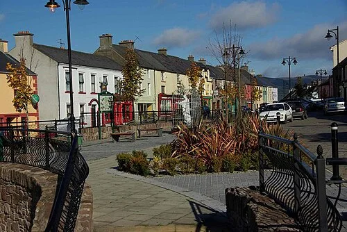 Ballyhoura Apple Farm: explore the craft behind juice and vinegar

Plan with the tourism route guide and further visitor information. Local signs and current notices take precedence over this overview.