
Make time for the places along the way
The Cavan Way passes through west Cavan’s river and limestone landscape. The locality map is for planning; use the current trail register and Geopark directions for the permitted walking line.
The current article records a trail diversion and separate Shannon Pot construction restrictions. Check both before travelling, and do not assume a route nearby gives access to a closed visitor site. Dogs are not permitted on the walking route.
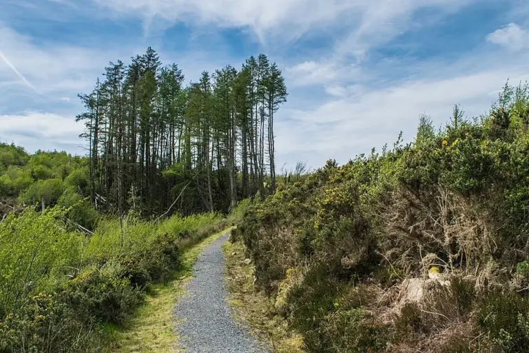 The Cavan Way: check the diversion before planning a stage

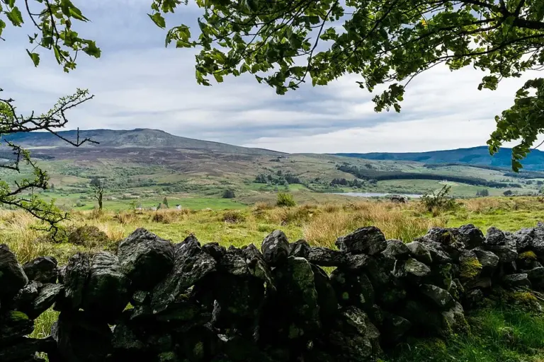 Cavan Burren Park: read the stone before choosing the next trail

Plan with the tourism route guide and further visitor information. Local signs and current notices take precedence over this overview.