
Make time for the places along the way
The county brochure offers several road-cycling routes, rather than one compulsory circuit linking every place shown here. Select the current numbered option and use its map for the start, distance and road junctions.
Plan for shared roads, hills and the group’s ability. Heritage sites can have separate access arrangements, so check each visit and any detour before adding it to the ride.
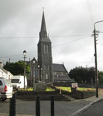 Granard: build a day around the town, not a summit climb

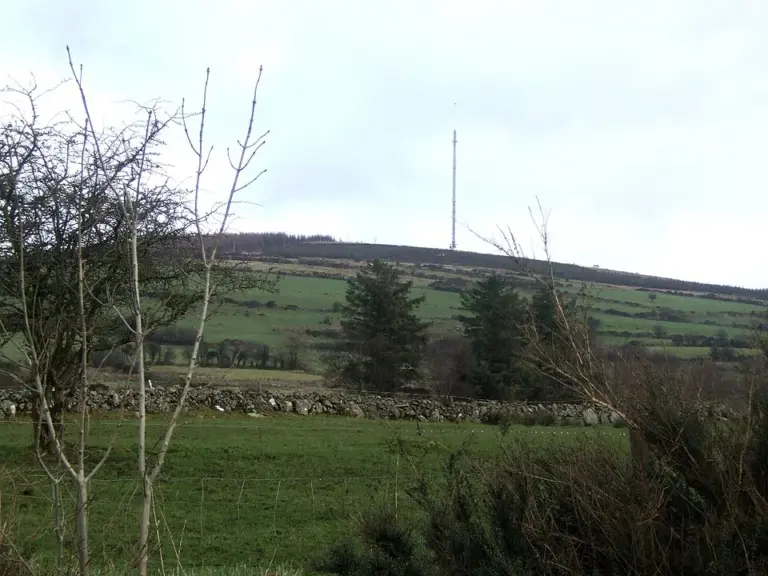 Drumlish and Ballinamuck: connect two different local histories

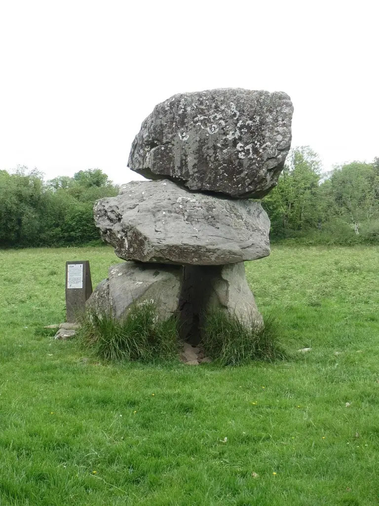 Aughnacliffe’s portal tomb: look at the balance of stone

Plan with the tourism route guide and further visitor information. Local signs and current notices take precedence over this overview.