
Make time for the places along the way
Begin at either end and explore the coast through Greystones, Kilcoole, Newcastle and Wicklow town. The road runs inland in places: this is a series of coastal visits connected by public roads, rather than an uninterrupted drive beside the sea. Brittas Bay provides another reason to leave time before reaching Arklow.
Park before exploring a promenade, harbour or beach. Shore access and walks are separate from the driving line, and railways are never a pedestrian shortcut. In particular, this route does not use the Bray–Greystones cliff walk as a road or promise that the through walk is open.
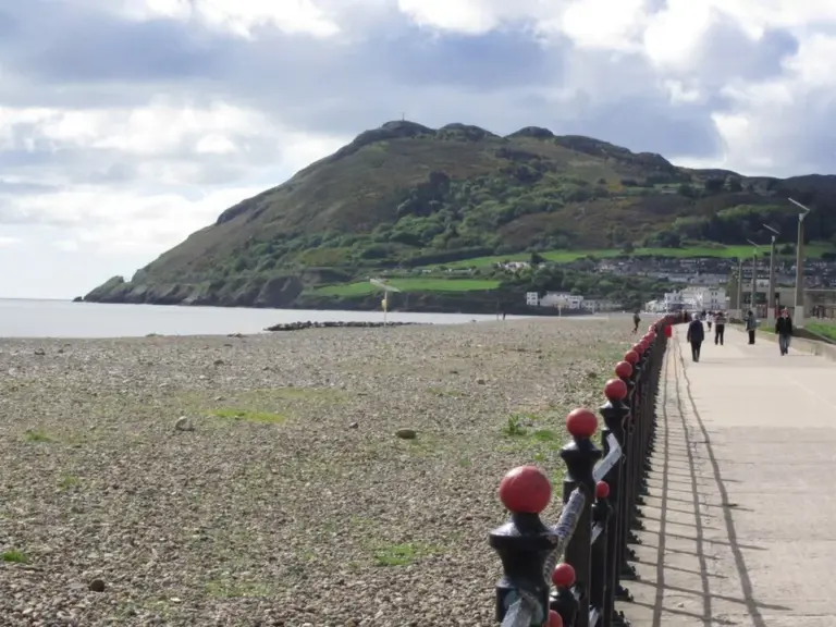 Bray: make the promenade the beginning of a seaside day

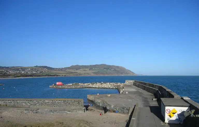 Greystones: give the cafés and harbour a day of their own

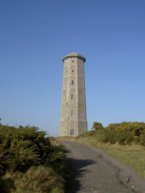 Wicklow Head’s lighthouses: separate the landmark from the working light

Plan with the tourism route guide and further visitor information. Local signs and current notices take precedence over this overview.