
Make time for the places along the way
The council describes a circular riverside walk using waymarkers and a return on the forest road. Read its current signs and any diversion before setting off. Forest-road walking and purpose-built bike trails are not interchangeable, particularly where riders may approach quickly or machinery is operating nearby.
Use the council’s latest notices and follow the on-site route signs. Riders should check grading, equipment and any closure with the trail operator before starting; a red trail is not a casual family cycle. Walkers need suitable shoes and a plan to return. Conditions and forestry activity can change faster than a general visitor description.
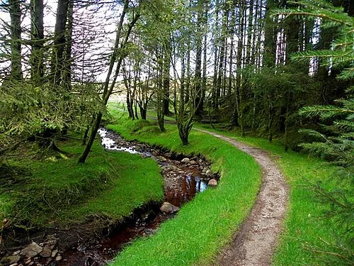 Davagh Forest: read the trail notices before choosing a route

Plan with the tourism route guide and further visitor information. Local signs and current notices take precedence over this overview.