
Make time for the places along the way
The park offers walking and cycling opportunities within a managed forest landscape. Match a named route to its waymarks and distance, noting where shared sections or junctions occur. If you are visiting with a mixed group, choose a comfortable shorter option first. A forest network can make an accidental extension surprisingly easy when everyone follows a different arrow.
Use Coillte's current route map, notices and gate times. Ask about the actual surface if using a buggy or mobility aid. Bring water and appropriate footwear, give cyclists and walkers room, and follow any forestry-work diversions rather than crossing a closed section.
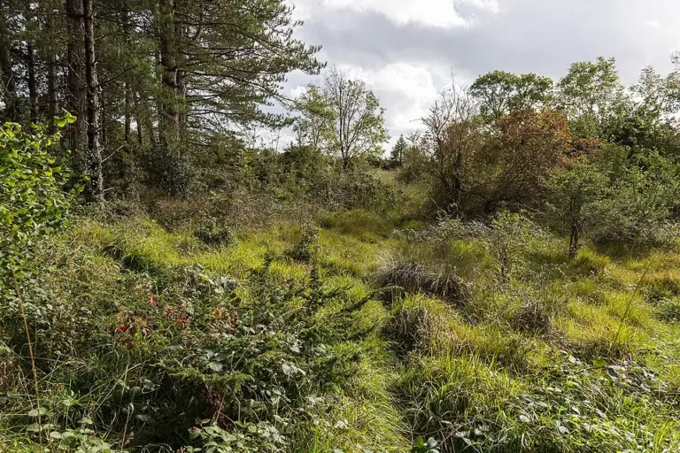 Portumna Forest Park: choose a loop beside Lough Derg

Plan with the tourism route guide and further visitor information. Local signs and current notices take precedence over this overview.