
Make time for the places along the way
The local walking information describes a choice of circular routes using forest paths and tracks. Read the current mapboard before setting out, particularly if you want a shorter visit. Different combinations can explain why descriptions give different lengths. A loop that returns to the same car park is convenient, but it still needs suitable shoes and enough daylight for the pace of your group.
Consult the current Glenfarne Forest map and notices, including forestry operations. Keep dogs on a lead where permitted, leave gates and access clear and stay on established paths. Ask about the particular loop if gradients or surfaces affect the people visiting.
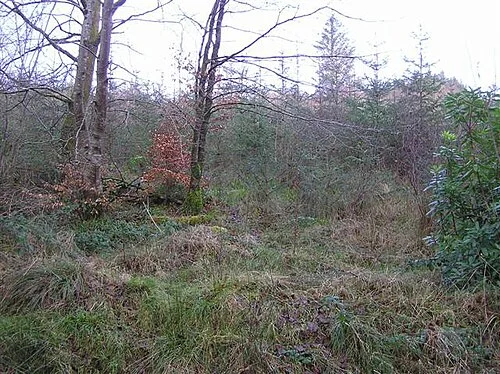 Glenfarne woodland: make time for the forest and lake

Plan with the tourism route guide and further visitor information. Local signs and current notices take precedence over this overview.