
Make time for the places along the way
The official Sperrins brochure distinguishes North, Central, East and South circuits. Use the named circuit’s full map, rather than joining these planning towns by the shortest road route.
The brochure marks alternatives for large or heavy vehicles on some sections. Choose the appropriate variant before leaving, follow local road restrictions and plan forest walks, heritage visits and mountain outings separately.
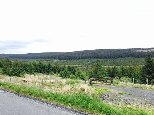 Banagher Forest: give the glens a properly planned walking day

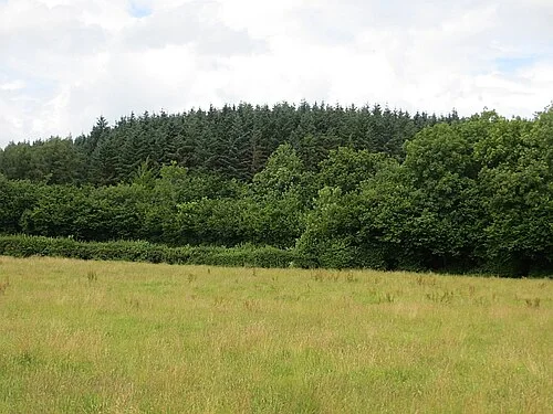 Garvagh Forest: pick a river loop and look for the pyramid

Plan with the tourism route guide and further visitor information. Local signs and current notices take precedence over this overview.