
Make time for the places along the way
This is a collection of road-cycling choices, not a single continuous loop through every planning town. Select one named route and use its published map for the distance, start and road connections.
These are shared roads with narrow and exposed stretches. Plan the day around ability, wind and daylight, and check cycle hire or assistance separately.
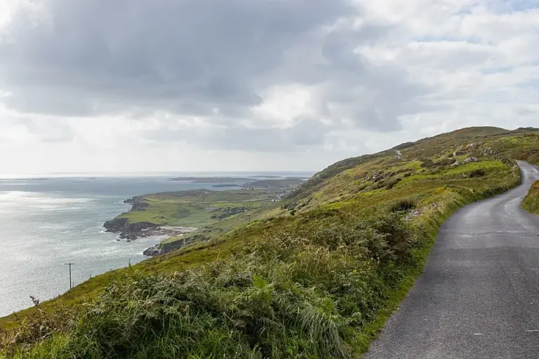 Clifden’s Sky Road: choose a clear day and an unhurried circuit

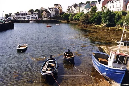 Roundstone: begin at the harbour and let the day grow

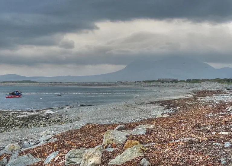 Renvyle Peninsula: give the smaller roads and shore stops time

Plan with the tourism route guide and further visitor information. Local signs and current notices take precedence over this overview.