
Make time for the places along the way
The Sligo Way is a long walking journey, rather than a circuit of the lakeside attractions. Use Sligo Walks’ stage descriptions and official map for the trail between the planning places.
Check forestry operations and signed diversions before starting. Woodland stories nearby can help extend a stay but may need a separate approach and extra time.
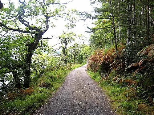 Slish Wood: choose the lake loop before the longer trail

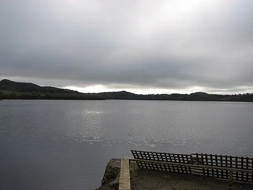 Dooney Rock: a short walk with a literary connection

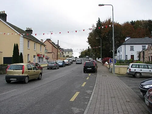 Dromahair: village streets and a riverside history

Plan with the tourism route guide and further visitor information. Local signs and current notices take precedence over this overview.