
Make time for the places along the way
Coillte describes the Garryhinch Loop at about 3.2 kilometres and the Barrow Walk at about 3.8 kilometres, both graded easy. Those are separate routes, not two consecutive sections that every visitor must complete. Choose a manageable outing and keep enough time for stops beyond the indicative walking estimate.
Check current Coillte notices and the trailhead map, particularly after severe weather. Wear suitable footwear and ask about access requirements if steps or uneven surfaces matter. The published car-park capacity is small, so do not block an entrance when it is full. Carry water and take picnic litter home. Treat a separate farm or mushroom-producer visit in the wider Garryhinch area as its own appointment, not an activity included with woodland access.
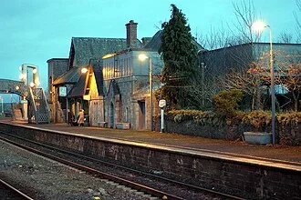 Garryhinch: choose the woodland loop or follow the Barrow

Plan with the tourism route guide and further visitor information. Local signs and current notices take precedence over this overview.